Groundwater lowering
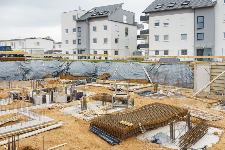
Some of the civil engineering structures interact with groundwater, specifically underground parking projects, tunnels and metro stations, decontamination works by excavation, etc.
In order to control and anticipate the behavior of groundwater in the construction phase and life phase of such projects, ARTESIA provides advices from the characterization phase of the underground to the deployment of its 3D predictive technology and the monitoring of the construction site. The 3D model gives reliable answers to the initial hydrogeological questions asked such as:
- What will be the flows of the water streams, how will they evolve depending on depth and time?
- What will be the mass flow of pollutants to be treated in case of contamination of the underground?
- Is there a risk of a dam effect resulting from constructive choices and what will be their impact on the water table and the risks of flooding?
- What will be the potential effects of soil settling in time and space?
- Are hydraulic links with the surface water system to be feared?
- What will be the hydrostatic pressure under the basal watertightness in case of flood on the edge of an alluvial water table or in case of periods of high water?
- How will the cones of influence on the water table evolve in space and time?
- What will be the underground constructive choices as well as the optimal dewatering methods?
The contractor or project proponent is then able to reliably anticipate the technical, administrative and economic management of his site.
ARTESIA thus contributes to major mobility projects in large cities such as:
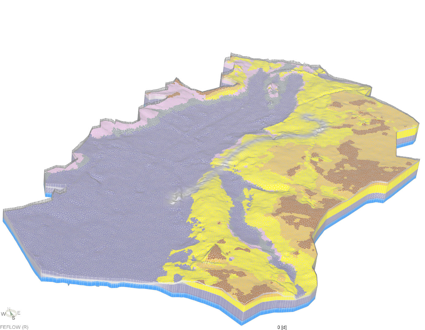
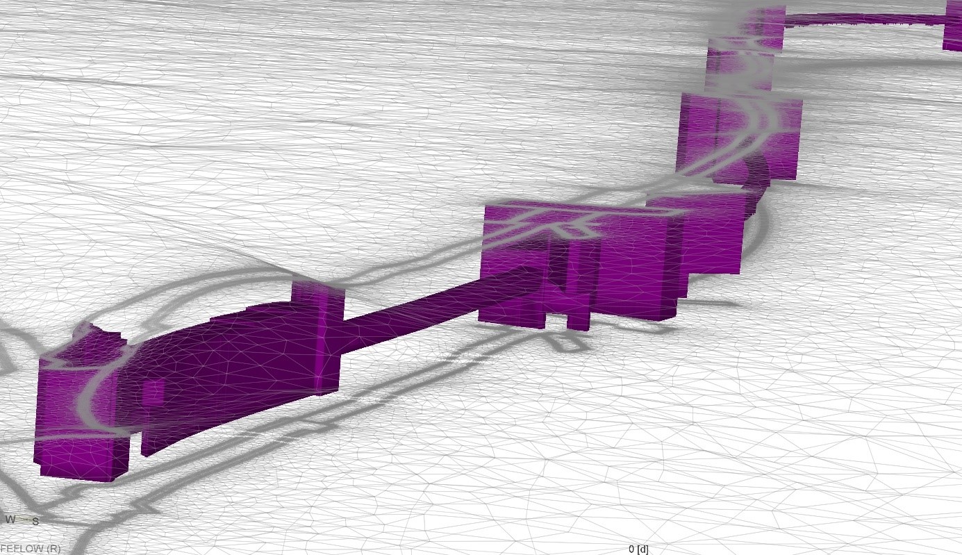
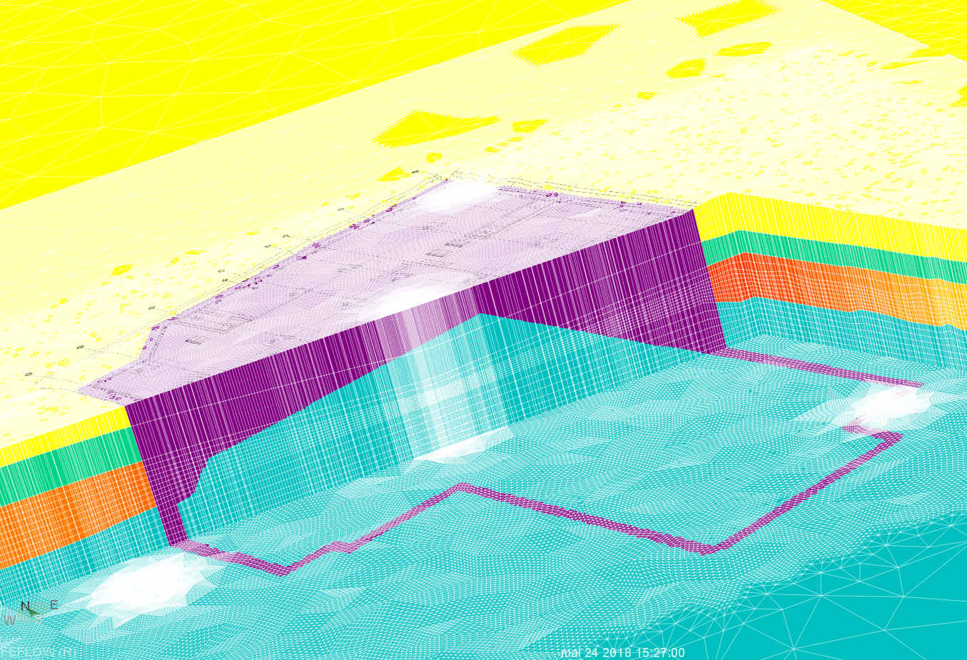
Example of the 3D model used to assess the hydrogeological impacts of the Brussels metro extension project (Metro Nord project) in terms of groundwater dewatering and rising, management of drained flows and risk of settlements
And other construction projects as illustrated here:
Example of the 3D model used to assess the impacts of an underground parking project in Wavre in terms of groundwater dewatering and rising and management of drained flows.
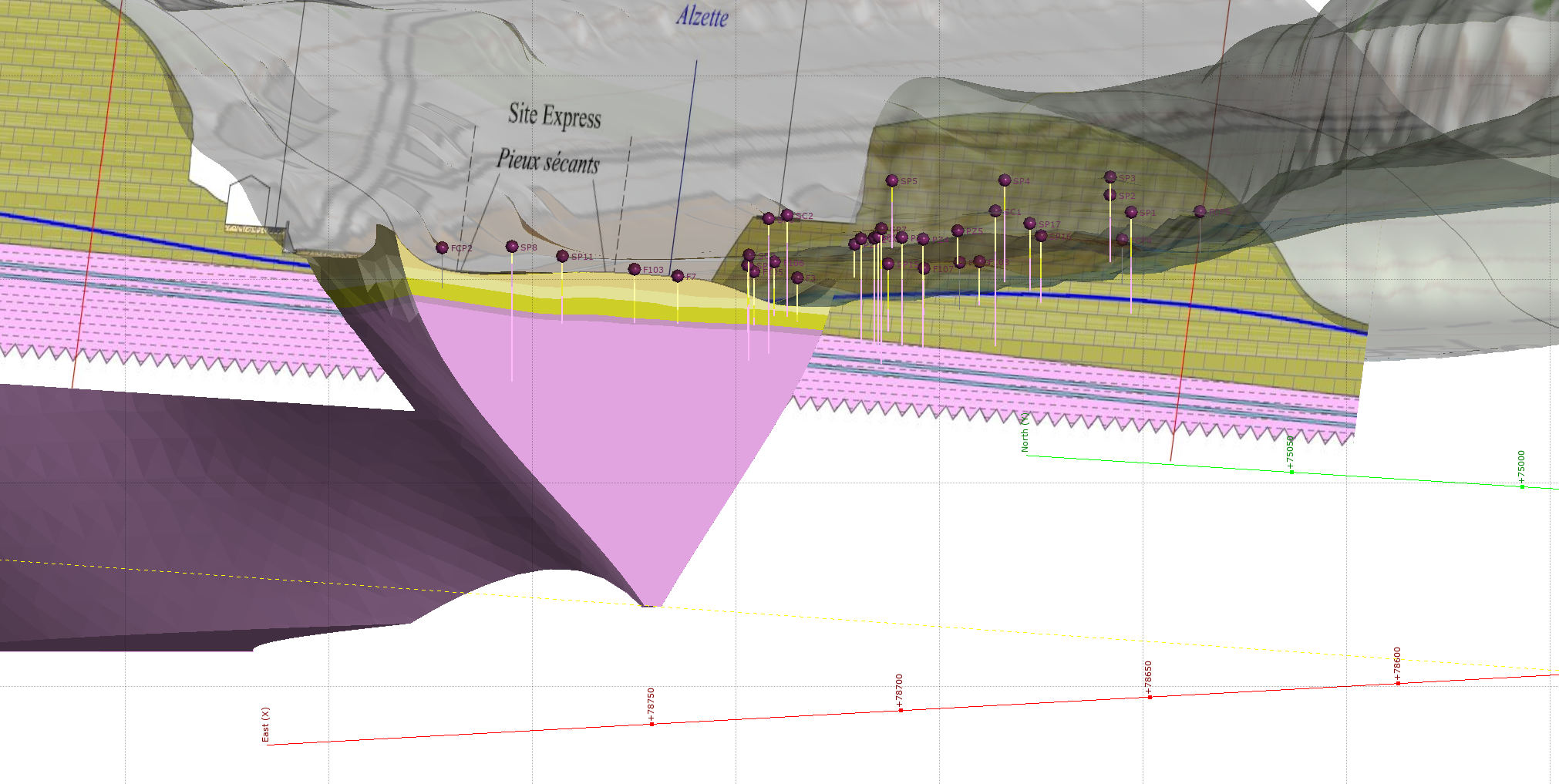
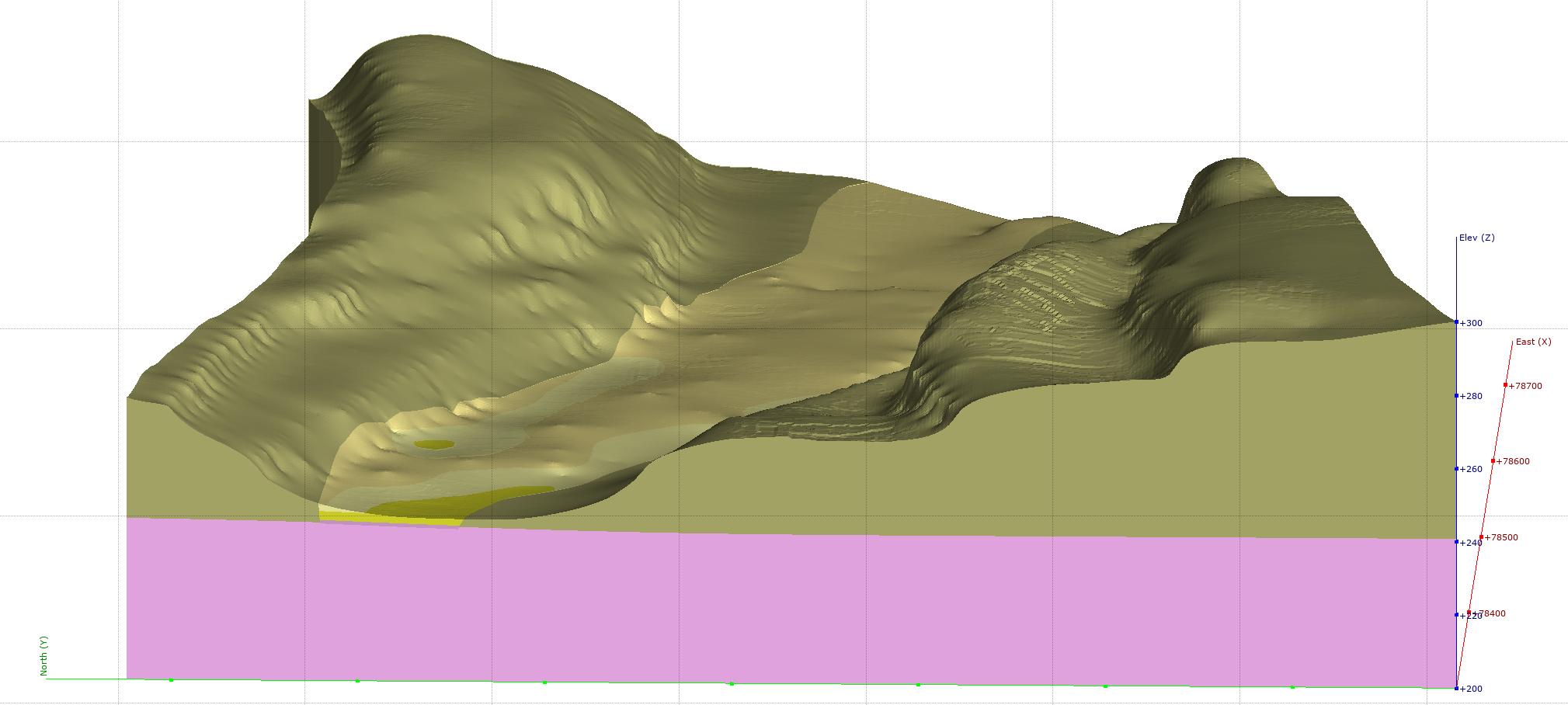
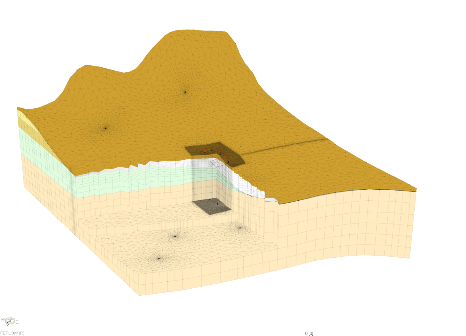
Example of the 3D model used to evaluate the flows drained by an excavation project for the remediation of a contaminated area in Luxembourg.

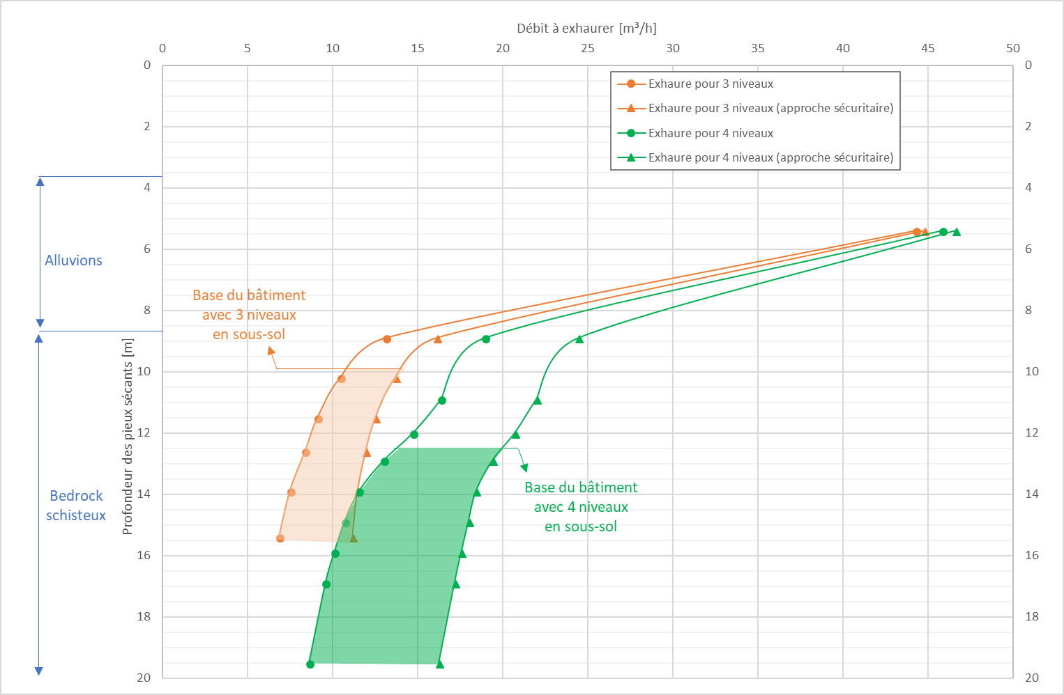
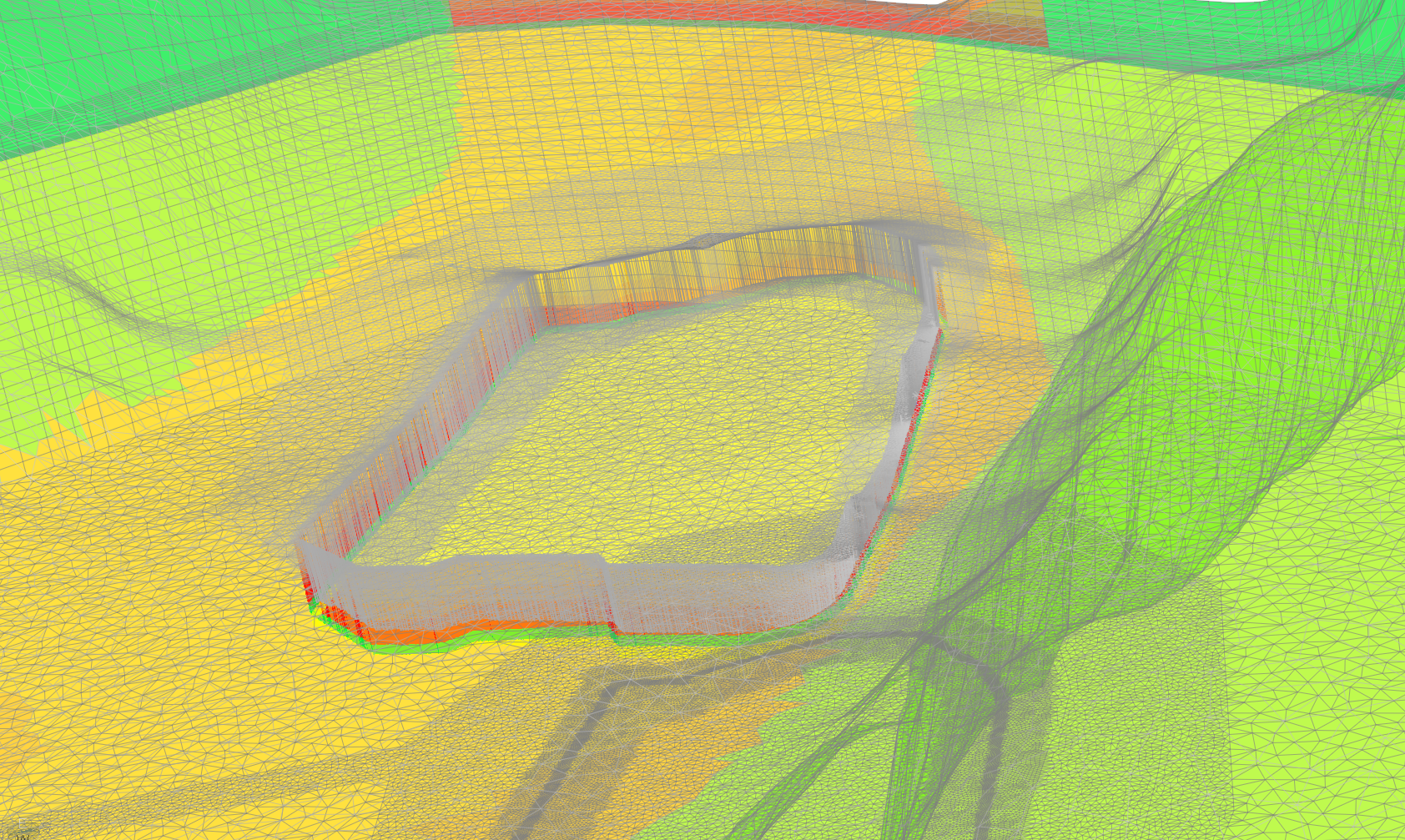
Example of the 3D model used to evaluate the flows drained by an apartment building project with 3 to 4 levels of underground parking lots, validation of the technical feasibility, optimization of the depth of the secant piles to ensure sufficient sealing, determination of the upward pressures under the building related to flooding of the nearby Meuse river.
TDU Bavaria / Muse-Geocamb with the stakes of a nearby geothermal energy project