Flood
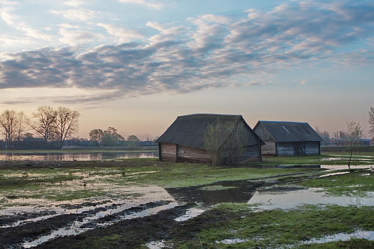
Land use planning faces increased risks of flooding from the increasing loss of buffer areas and rainwater infiltration combined with global warming. It generates rainy events that are becoming more and more intense and therefore more and more difficult to absorb by the surface water network.
Therefore, existing or planned real estate projects face directly these flood challenges when they are located in hazardous or preferential runoff areas. The consequences are manifold and in many cases result in material or even human losses if the risks are not reliably and seriously measured.
In order to anticipate these risks and if necessary define the appropriate protection measures, ARTESIA uses its robust and reliable predictive technology, based in particular on field campaigns involving the characterization of the hydrographic network as well as the various constructive works (bridges, piped pipes, etc.) that punctuate it.
Thus, based on flood scenarios defined by different return periods (characterized by different intensities), ARTESIA predicts how the flood of streams / rivers behaves and impacts buildings. On this basis, ARTESIA is therefore able to assess the risks and, if necessary, to size the protection and compensation measures such as: merlons, buffer tank, modification of existing hydraulic structures, warning systems for the evacuation of buildings, etc.
The solid and proven assistance of ARTESIA in this field allow its customers to benefit in the end from the following advantages:
- Effective communication with all actors (administrations, lawyers, insurance, opponents, owners of neighboring floodplains, etc.);
- An appropriate response to the administration’s technical requirements for obtaining town planning permits;
- Anticipate and avoid the risks of material and human losses;
- Provide objective information on the impacts of all technical decisions (spatial and temporal changes in river flows and levels upstream, downstream and at points of interest) and demonstrate the effectiveness of the choices;
- Advise the resource operator or guarantor on strategic choices.
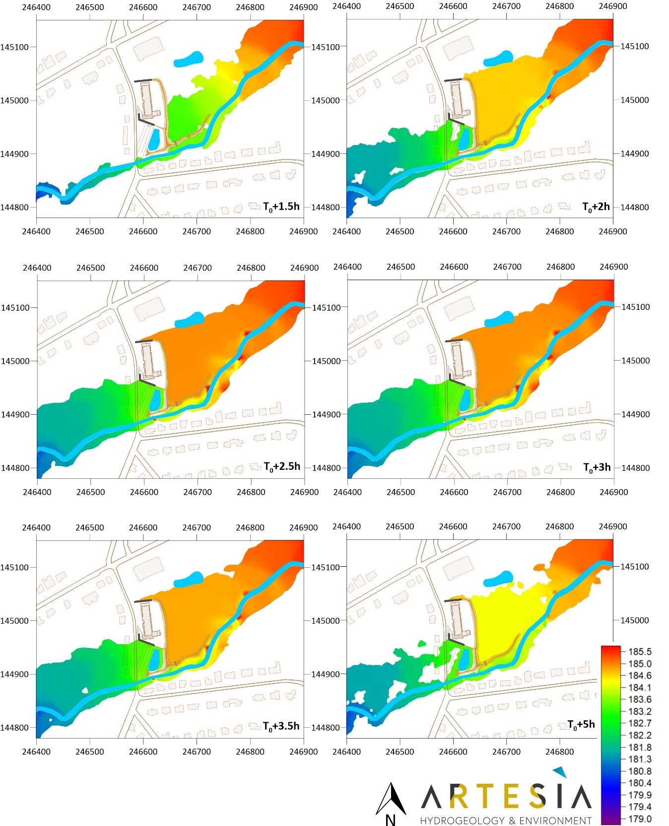
Example of the 2D model used to assess the risks of flooding of the Soumagne Rest House according to different scheme of arrangement of the territory, and aimed at making the optimal choices to secure people and property.